Start at one of the highlighted towns where you can buy a map of the Pilliga Forest and ask for up to date information on roads at a Tourist Information Centre.
Map of Area – not to be used to navigate the forest
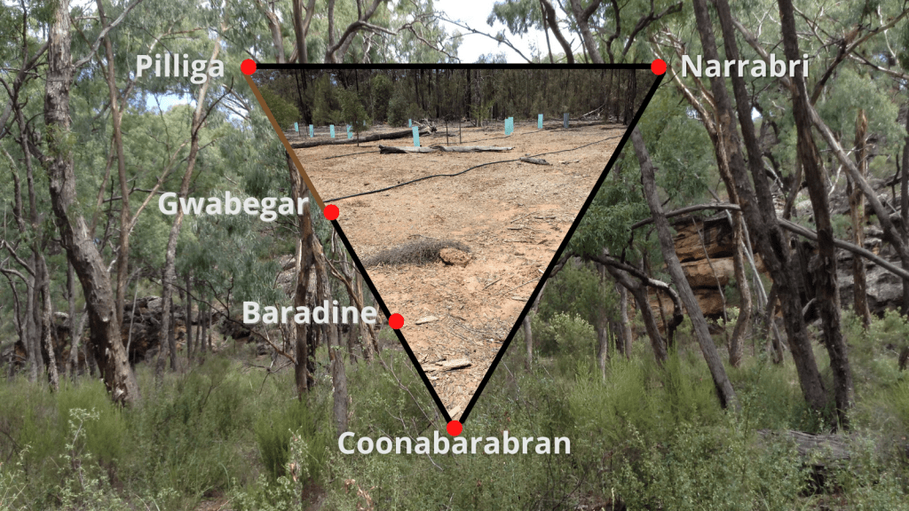
— unsealed road
1. COONABARABRAN TO PILLIGA
Coonabarabran & Warrumbungles – Fuel, food, accommodation and camping
Baradine – Fuel, food, accommodation and camping
— Indian Lane, No.1 Break Road, Top Crossing Road
— Sculptures in the Scrub – camping
— Go back to No. 1 Break Road, Rocky Road
— Salt Caves and Lookout – camping
— County Line Road, Pilliga Forest Way
— Aloes
— Pilliga Forest Way and Wangmanns Rd to Kenebri (option to return to Baradine accommodation)
Gwabegar (Baradine to Gwabegar sealed road, then unsealed road, usually well maintained, to Pilliga)
2. PILLIGA TO NARRABRI
Pilliga Township and Bore Bath – Food, basic camping and accommodation
— Yarrie Lake – Camping
CSIRO Telescope
Santos Operations Centre
3. NARRABRI TO COONABARABRAN
Narrabri – Fuel, food, accommodation and camping
— Forest Way and Plumb Road decommissioned wells
— Sandstone Caves
— Pilliga Pottery – Food, accommodation and camping
